
Find your route.
Remember it forever.
Discover, plan, book, and stay safe across Karnataka & Kerala — with a diary that writes itself.






New here? Create your free RutMe account.
Save places, plan trips with AI, track budgets and start your travel diary — all in one place.
Plan your trip
Let AI build it, or plan it yourself — either way, your budget and expenses track themselves.
Plan with AI
Tell us your dates, budget and vibe — get a day-by-day itinerary in minutes, tuned to your preferences.
Start AI plannerBuild it yourself
Pick attractions, stays, guides and restaurants one by one, and arrange your own days at your own pace.
Start from scratch
Travellers are interested in
Upcoming events with the most "I'm interested" taps right now.

Where to next
Handpicked local destinations, not just the postcard dozen.
Popular right now
View all →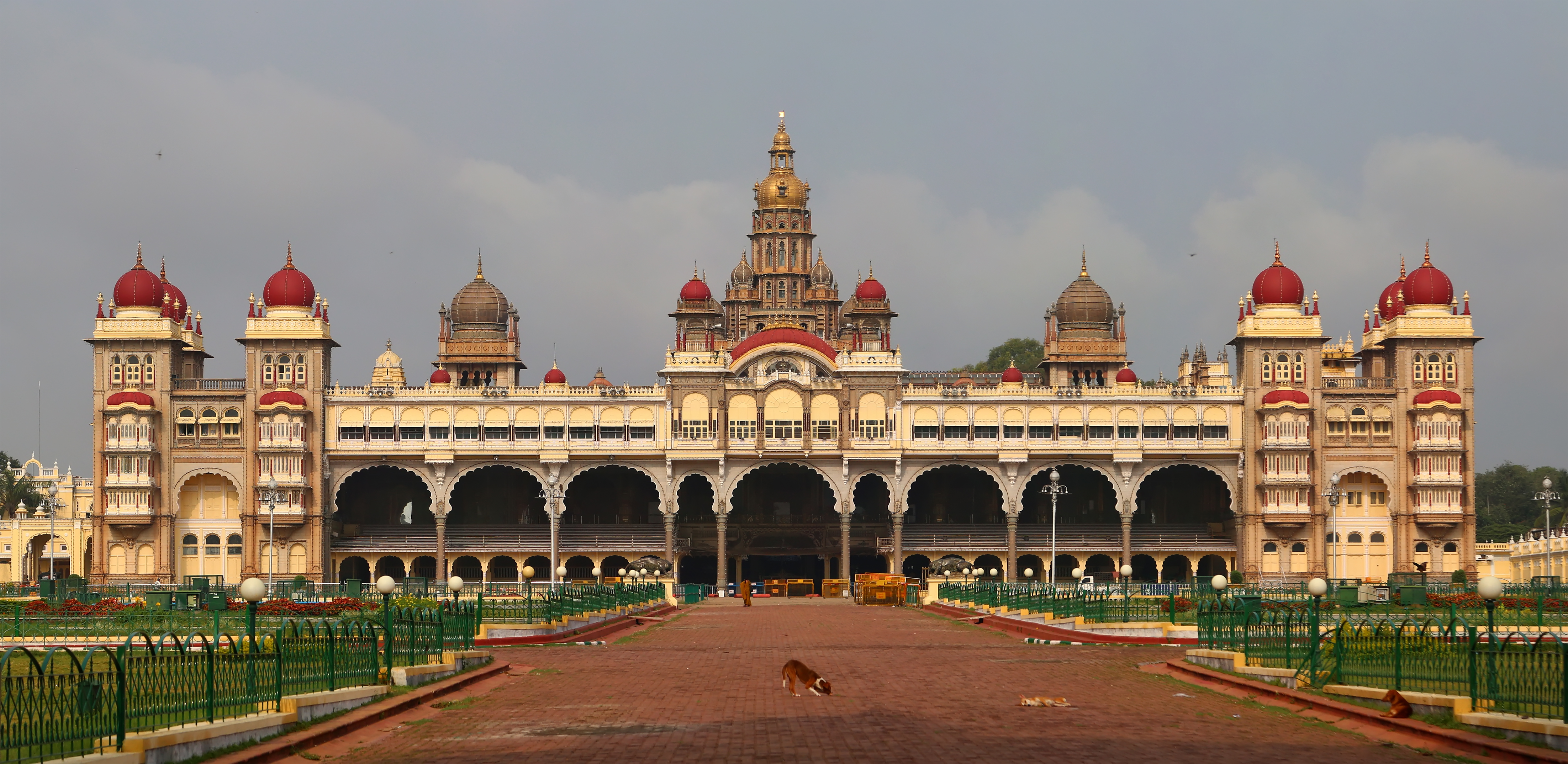


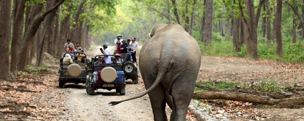
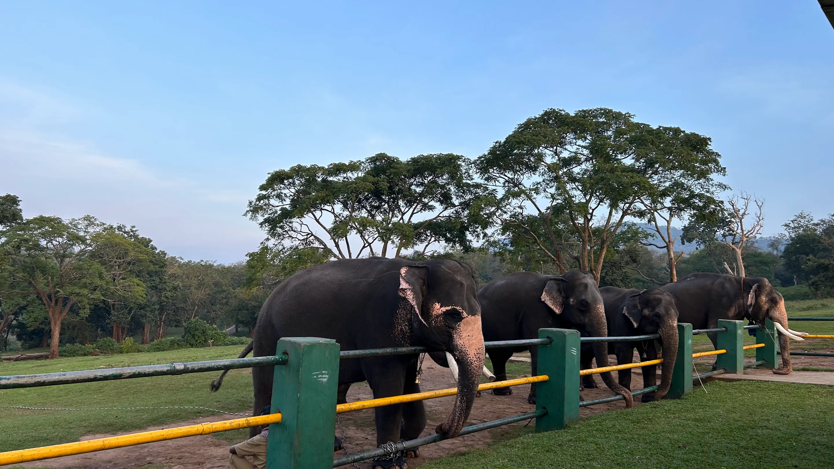
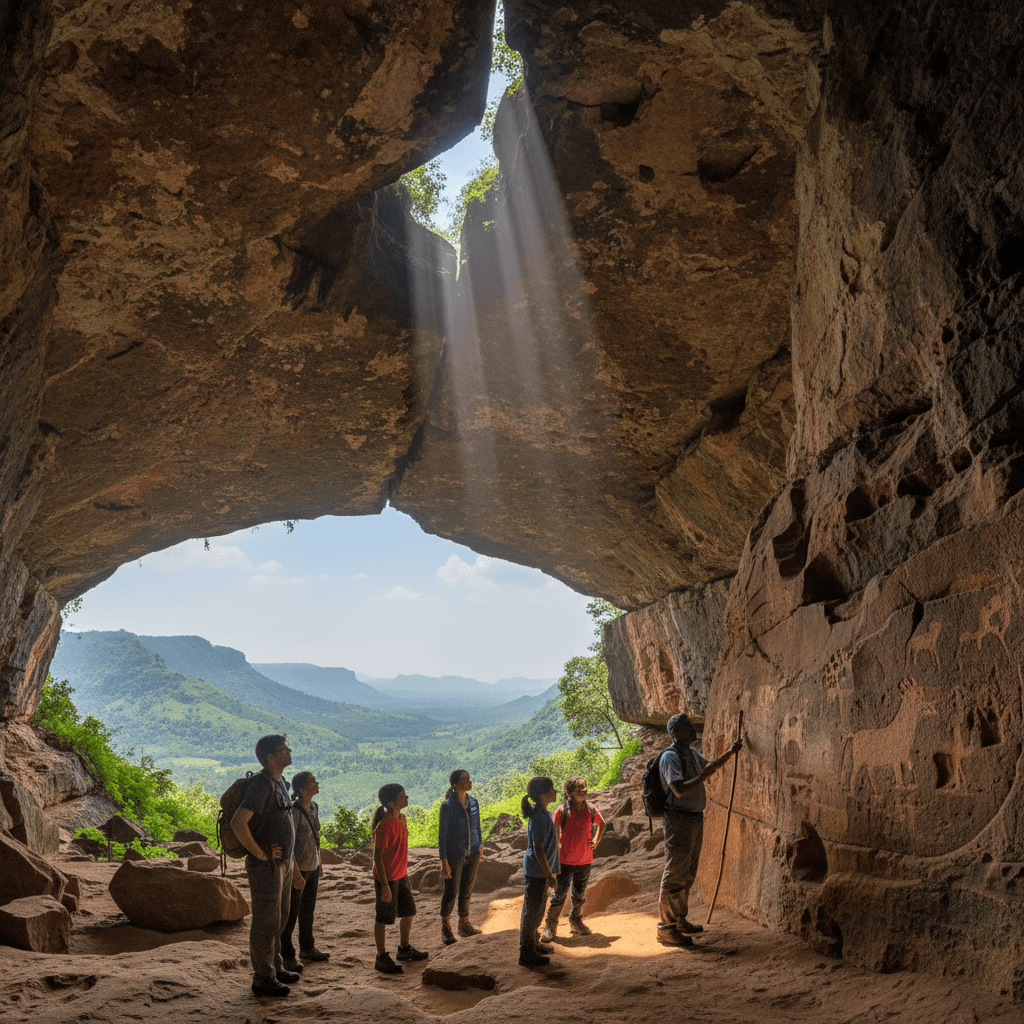

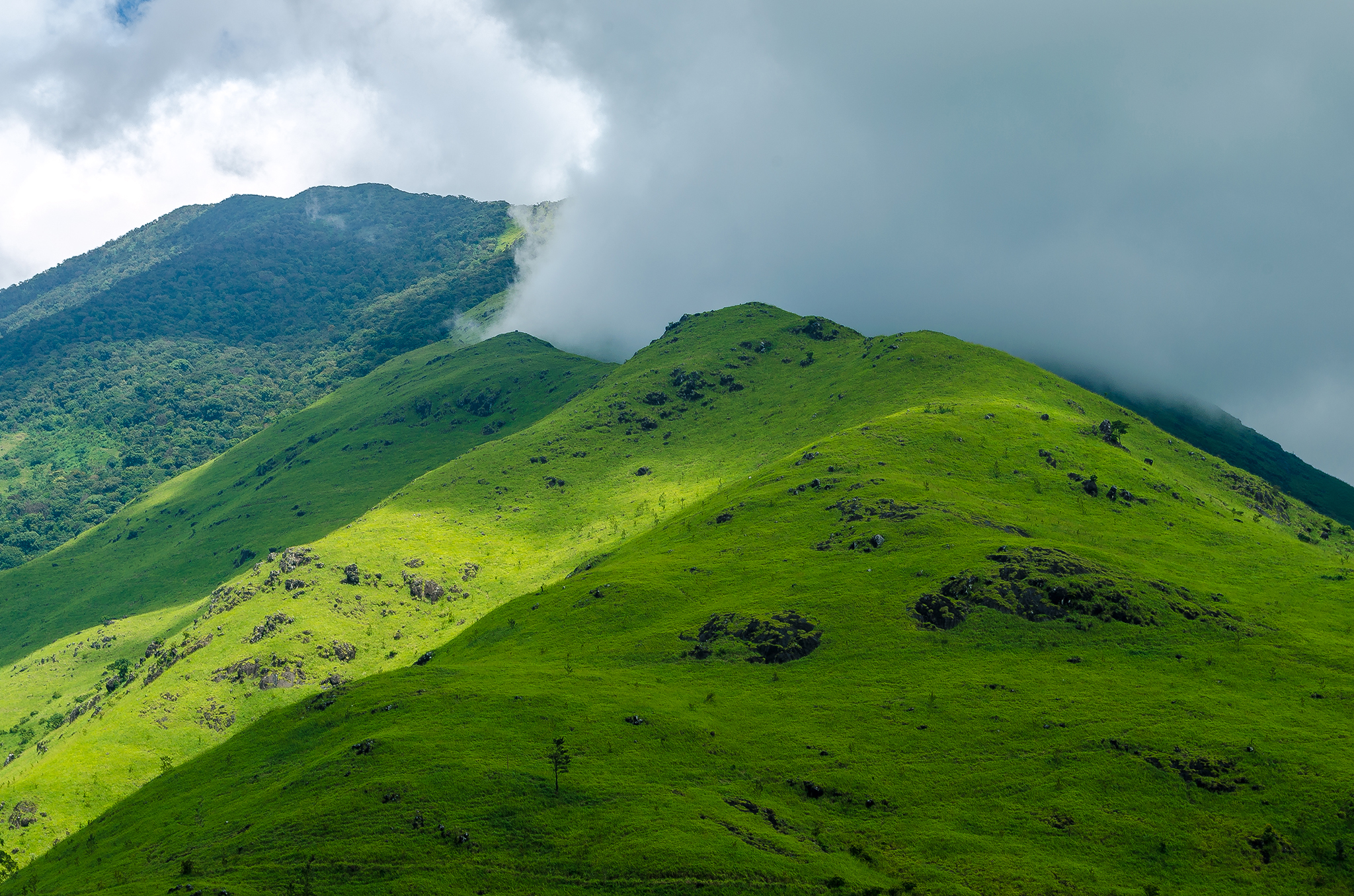

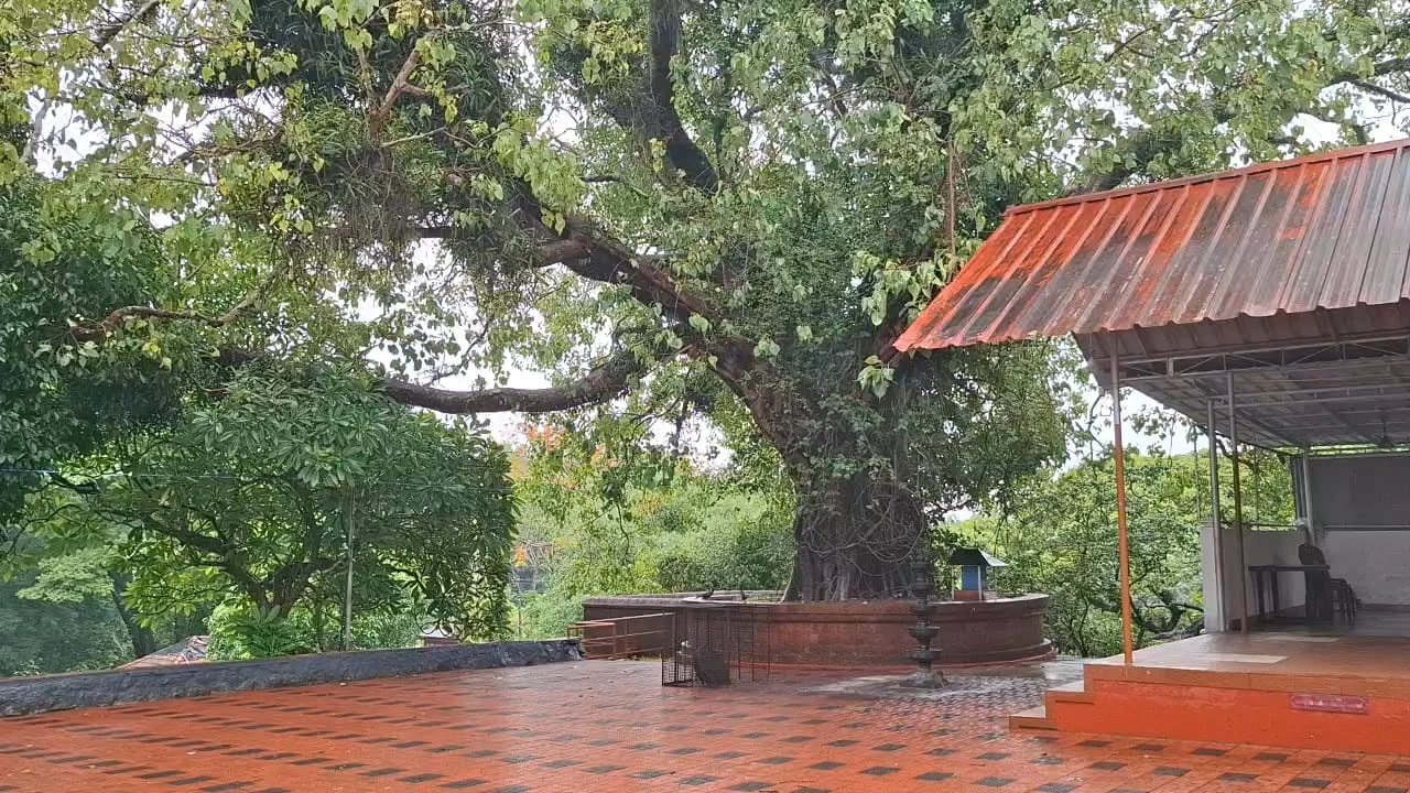
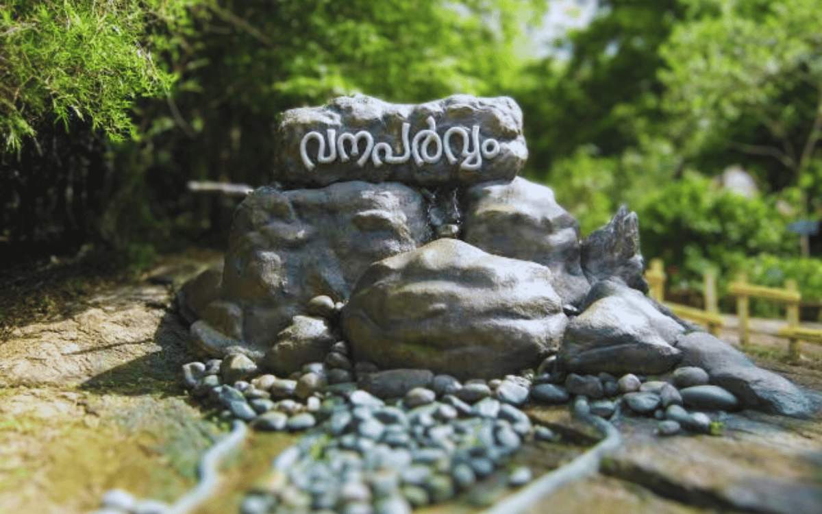
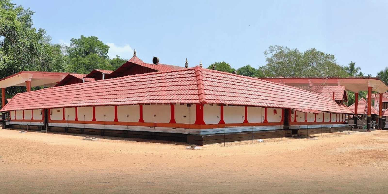
Top experiences
View all →



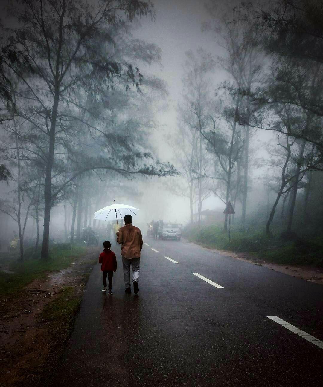
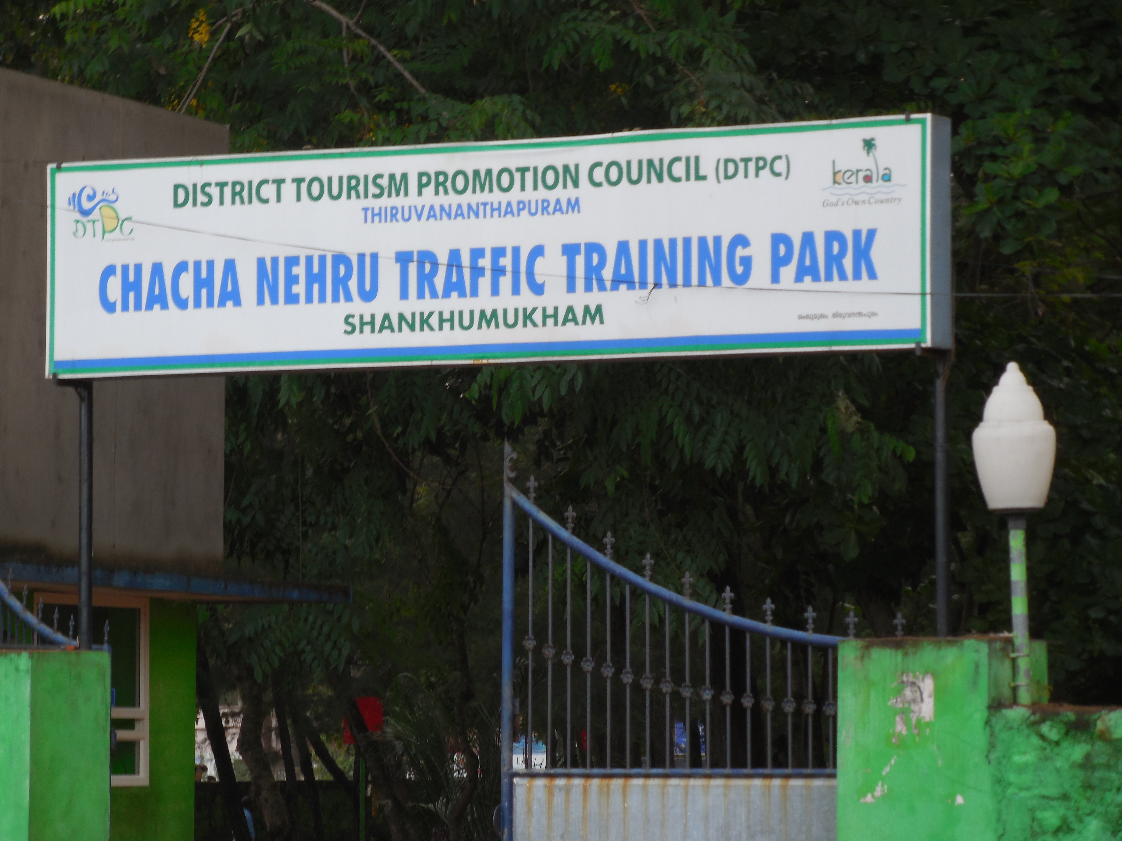
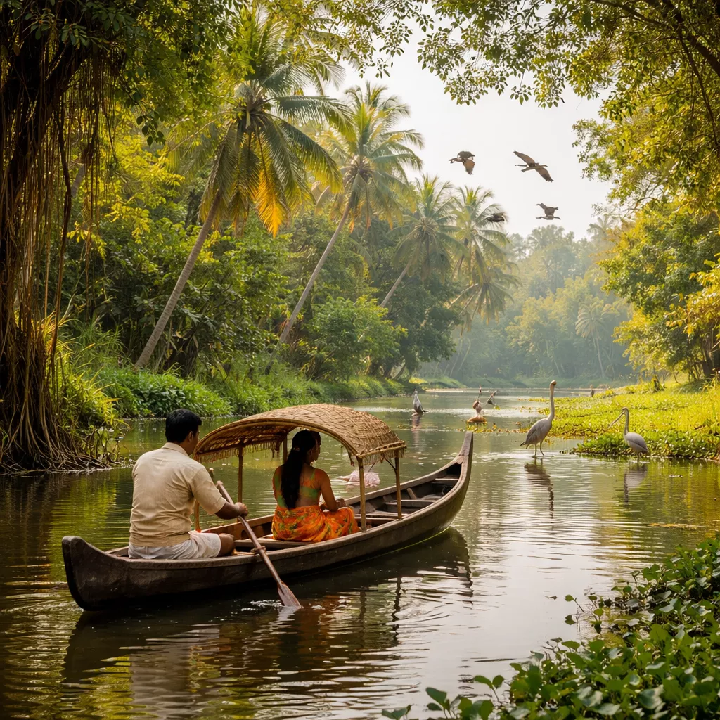
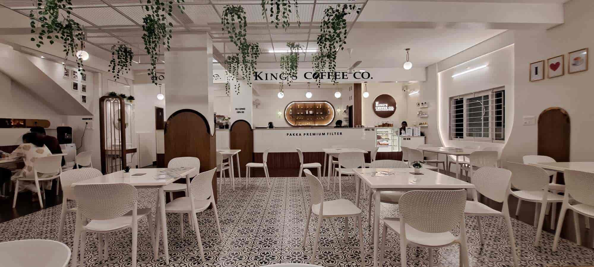
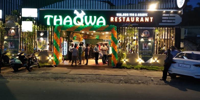
Restaurants near you
View all →
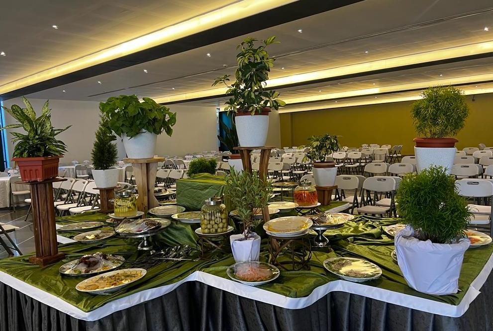
Stays worth booking
View all →
Happening nearby
View all →Recently added
View all →


%22%20opacity%3D%220.18%22%2F%3E%3C%2Fsvg%3E)



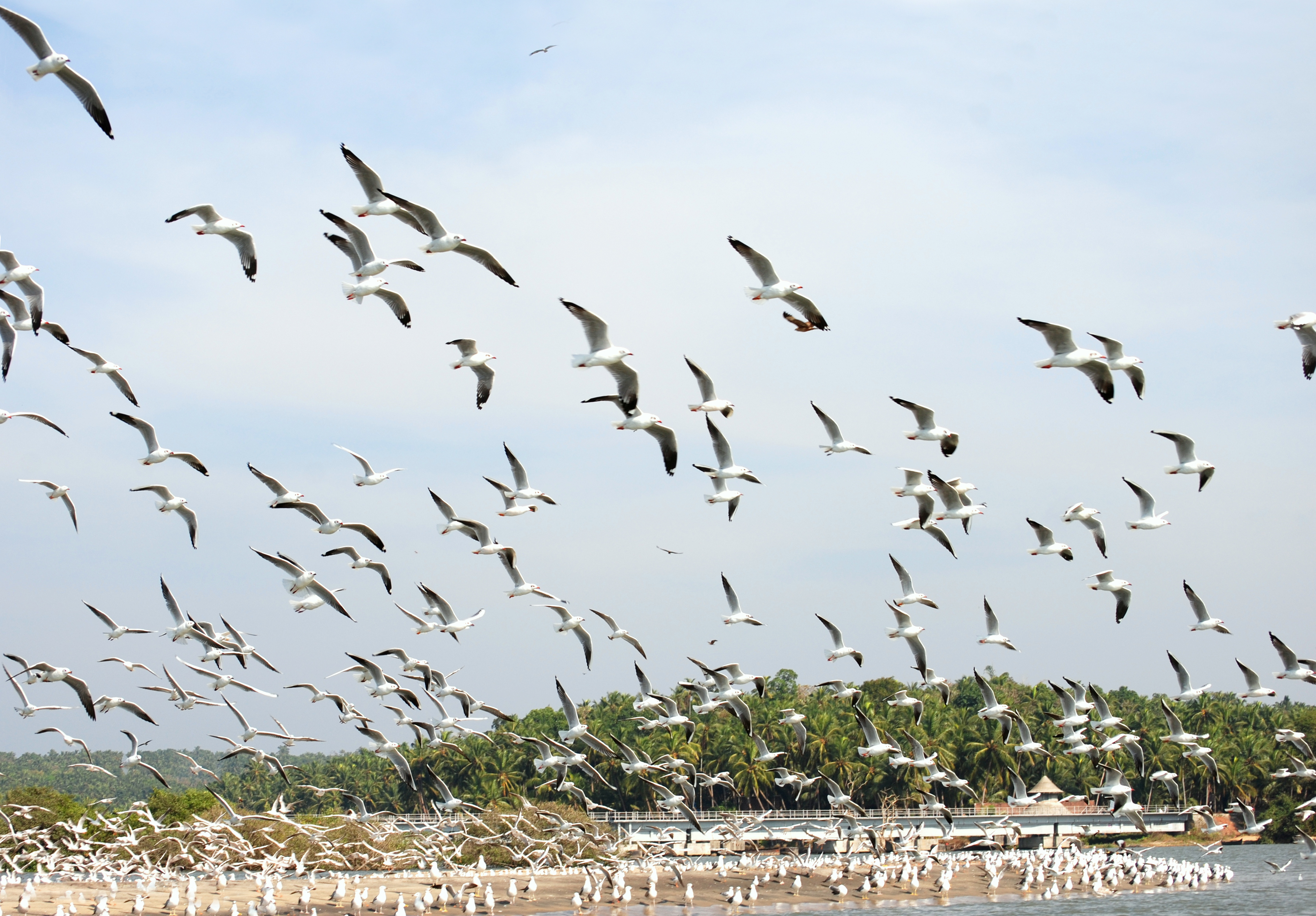
🔥 Trending on RutMe
Everything nearby
Stays, food, events and getting around — all in one place.
Restaurants & food
Local food, family restaurants and cuisine-based discovery.
Hotels & stays
Resorts, homestays and villas booked directly through RutMe.
Events
Cultural programs, festivals and local happenings.
Local guides
Verified local experts who know a place beyond the postcard.
Parking · soon
Verified parking near every attraction, capacity and fees upfront.
Cabs & travels · soon
Local cabs and airport transfers, straight from your itinerary.
Every place has a story nobody's telling you.
Tap any attraction and RutMe narrates the history behind it — in English or your language. No guide required.
Your trip, remembered — without lifting a finger.
Every night, RutMe will turn the day's check-ins, photos and expenses into one written diary entry — so the journey stays somewhere better than a camera roll.
Start a tripThis is what a generated diary entry will read like once Travel Diary ships — weaving together the day's check-ins, photos and notes into one story, automatically.
From the community
Posts and reels from travellers who've already been there.
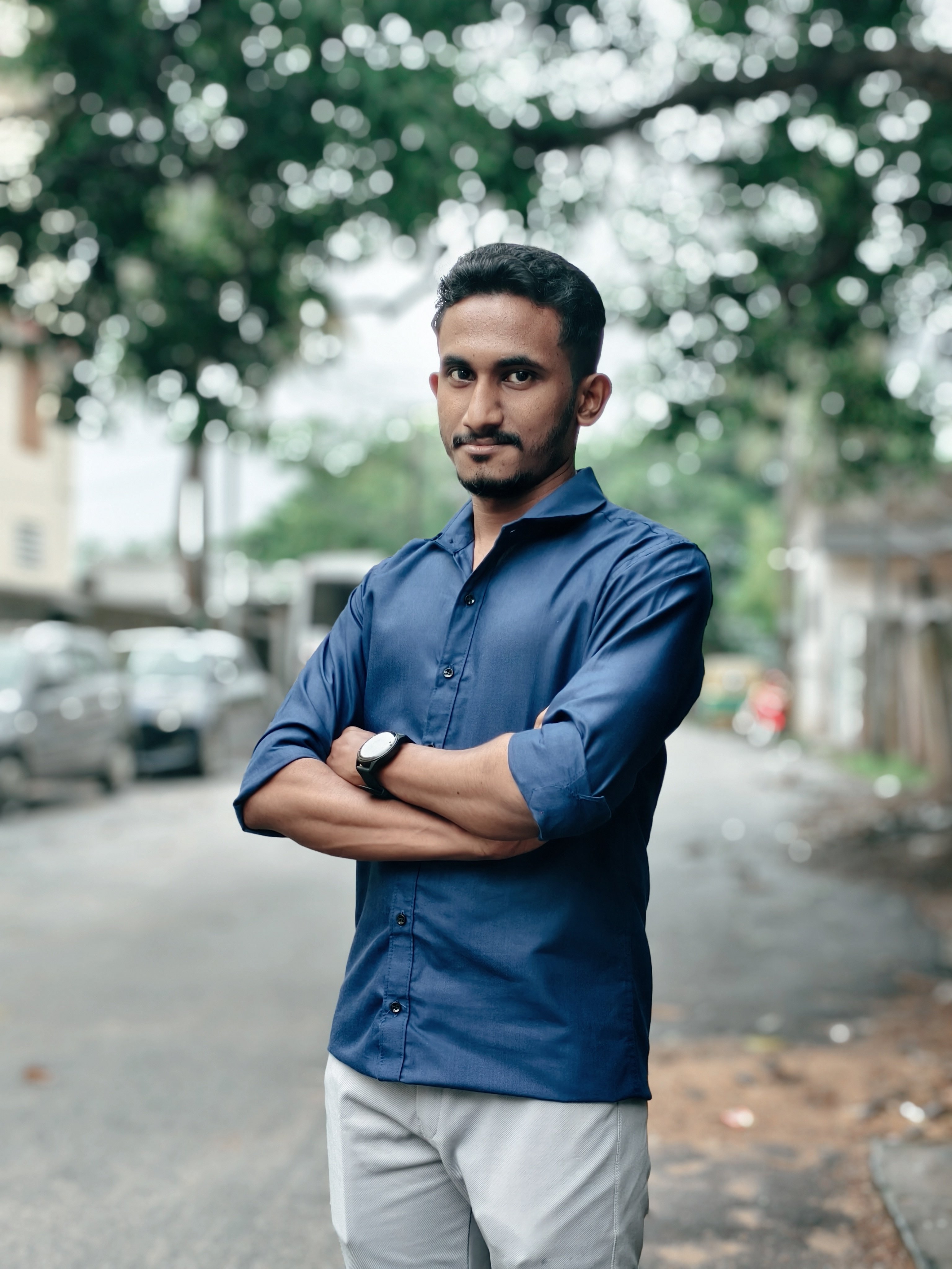
Night time chai with Malabar Cafe is such a vibe
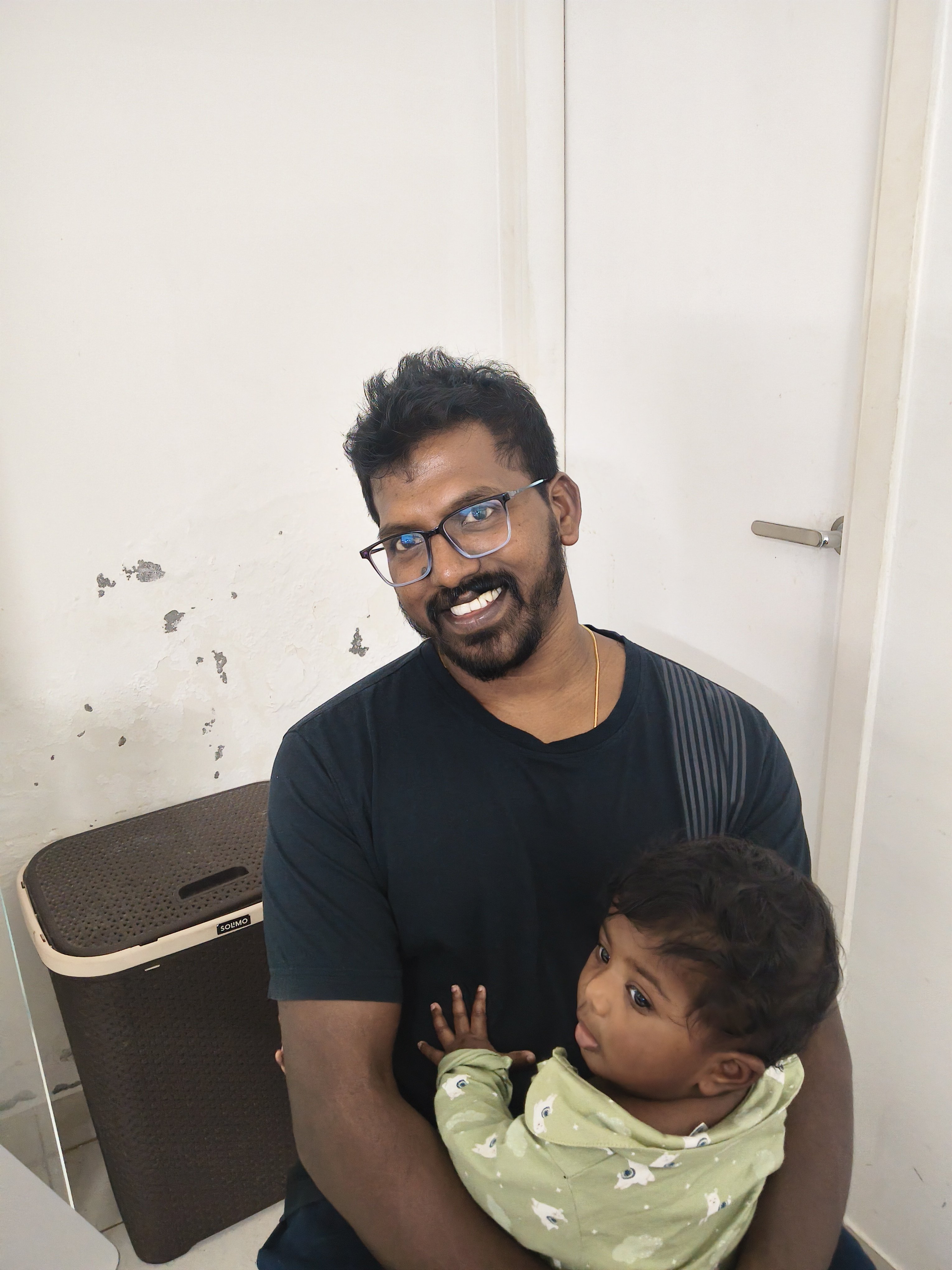
Amazing running experience at mysore kukkarahali late recommended for everyone
Some beautiful moments from the Banasura trek 🌿⛰️
Why RutMe
Not another listing app.
Safety, offline
TrailGuard will download checkpoints, alerts and emergency contacts before you lose signal in a ghat or forest.
Local, not just famous
Our local section connects you to real vendors and artisans — the tea shop, not just the temple.
A diary that writes itself
Every night, RutMe will turn your day's photos, check-ins and spend into one remembered story.
Verified, always
Guides, stays and attractions are checked — so recommendations mean something.

Take RutMe wherever the road takes you.
Offline checkpoints, live trip tracking, SOS and your travel diary — built for the road, not just the browser. The RutMe app is on its way.
Want to know the moment it launches? Watch this space.
 Scan to open on your phone